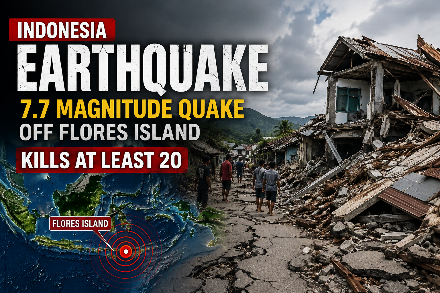
A powerful 7.7 magnitude earthquake struck off the northern coast of Indonesia’s Flores Island in the early hours of Saturday, August 15, 2026, killing at least 20 people, injuring several others and reducing homes and buildings to rubble across the eastern province of East Nusa Tenggara. The shallow undersea quake also triggered a brief tsunami warning, forced thousands of residents to flee to higher ground and knocked out power across large parts of the affected region.
Rescue teams were still digging through collapsed structures late Saturday, and officials cautioned that the death toll could climb as remote villages report in and communications are restored.
When and where the earthquake hit
According to the United States Geological Survey, the quake struck at 5:58 AM local time on Saturday. The epicenter was located about 68 kilometers (42 miles) north-northwest of the city of Ende, in East Nusa Tenggara province, at a shallow depth of just 10 kilometers. Shallow earthquakes generally cause more surface damage than deeper ones because the seismic energy has less distance to travel before it reaches populated areas.
The initial jolt was followed by intense aftershock activity. Within the first half hour, 3 significant aftershocks measuring 5.9, 5.6 and 6.1 in magnitude rattled the same region, and dozens of smaller tremors were recorded through the day. Indonesia’s Meteorology, Climatology and Geophysics Agency (BMKG) warned that aftershocks could continue for several days and urged residents to stay away from damaged structures.
You can view technical details of the event on the USGS Earthquake Hazards Program.
Death toll and injuries
Fathur Rahman, head of the Maumere Search and Rescue Agency, confirmed that rescue teams operating around the port town of Maumere had recovered 20 bodies, treated 6 injured people and were still working to reach 2 individuals trapped beneath collapsed structures.
Earlier in the day, East Nusa Tenggara Governor Emanuel Melkiades Laka Lena told reporters that 5 people had been killed by falling debris while they were sleeping. That figure was quickly overtaken as rescuers reached more villages. Provincial police chief Rudi Darmoko said the earliest confirmed casualties came from Sikka Regency and Manggarai Regency, where multiple homes and community buildings collapsed.
Disaster agency spokesperson Berton Suar Pelita Panjaitan said the count of dead and injured is expected to change as damage assessments continue in coastal villages and inland areas that remain difficult to reach.
Tsunami warning issued and lifted
Immediately after the quake, BMKG issued a tsunami alert for coastlines closest to the epicenter, warning of possible waves ranging from 0.5 meters to 3 meters. Residents were told to move inland, avoid beaches and stay away from riverbanks that could carry surging water inland.
Sea levels did rise, but far less than initially feared. Tsunami waves of less than 1 meter (about 3 feet) were recorded at several monitoring stations along the coast. BMKG lifted the tsunami warning roughly 3 hours after the earthquake, though officials said they would continue to monitor sea levels for any delayed activity.
Australia’s tsunami warning center separately confirmed that the quake posed no threat to the Australian mainland or offshore territories.
Damage and rescue operations
Photographs and video shared by Indonesia’s National Search and Rescue Agency, known as BASARNAS, showed rescue workers picking through the debris of flattened houses in Maumere, Ruteng and surrounding villages. In the town of Ruteng in Manggarai, entire rows of houses were reduced to piles of concrete and timber.
Power outages across several districts have slowed the flow of information and complicated coordination between rescue teams, officials said. Roads leading to some remote villages were reported blocked by fallen debris, and hospitals in the affected area were treating patients in temporary tents outside their buildings after structural cracks appeared in ward walls.
The stricken area is made up mostly of low-rise towns and villages with few tall buildings, which likely limited the scale of destruction compared to a quake of similar size in a densely built city.
Eyewitness accounts from the ground
Residents described scenes of panic as the ground shook violently before dawn. Lukas Lotar, a hospital customer service officer in Maumere, told the AFP news agency that patients ran from their beds as walls began to crack. Yohanes Babo, a resident of Nagekeo regency near the epicenter, said the tremor caught him at a market and sent people running in every direction. In the same area, witnesses reported the unusual sight of the sea retreating from the shoreline, a known precursor to some tsunamis, prompting families to race for higher ground before the warning was later downgraded.
Why Indonesia faces such frequent earthquakes
Indonesia sits on the Pacific Ring of Fire, one of the most seismically active zones on Earth. The country is crossed by several major tectonic plate boundaries, which is why it experiences hundreds of earthquakes every year and hosts more than 100 active volcanoes.
Flores Island itself has a painful history with major seismic events. In December 1992, a 7.7 magnitude earthquake and tsunami struck the same island, killing more than 2,000 people, most of them around Maumere and on nearby Babi Island. A separate 7.3 magnitude quake off Flores in December 2021 killed 1 person and injured 173 others.
More details on Indonesia’s seismic history are available on the Wikipedia list of earthquakes in Indonesia.
What happens next
BMKG has asked residents in coastal and hillside communities to remain alert for further aftershocks and to avoid returning to buildings that show visible cracks. Rescue crews from BASARNAS are being reinforced with personnel from Java, and Indonesia’s disaster management agency has begun distributing emergency shelter, water and medical supplies to displaced families.
Government officials say a full damage assessment will take several days as teams reach isolated hamlets across Sikka, Manggarai, Ende and Nagekeo. Updates on the death toll, missing persons and reconstruction plans are expected in the coming hours through official channels including BASARNAS and BMKG.